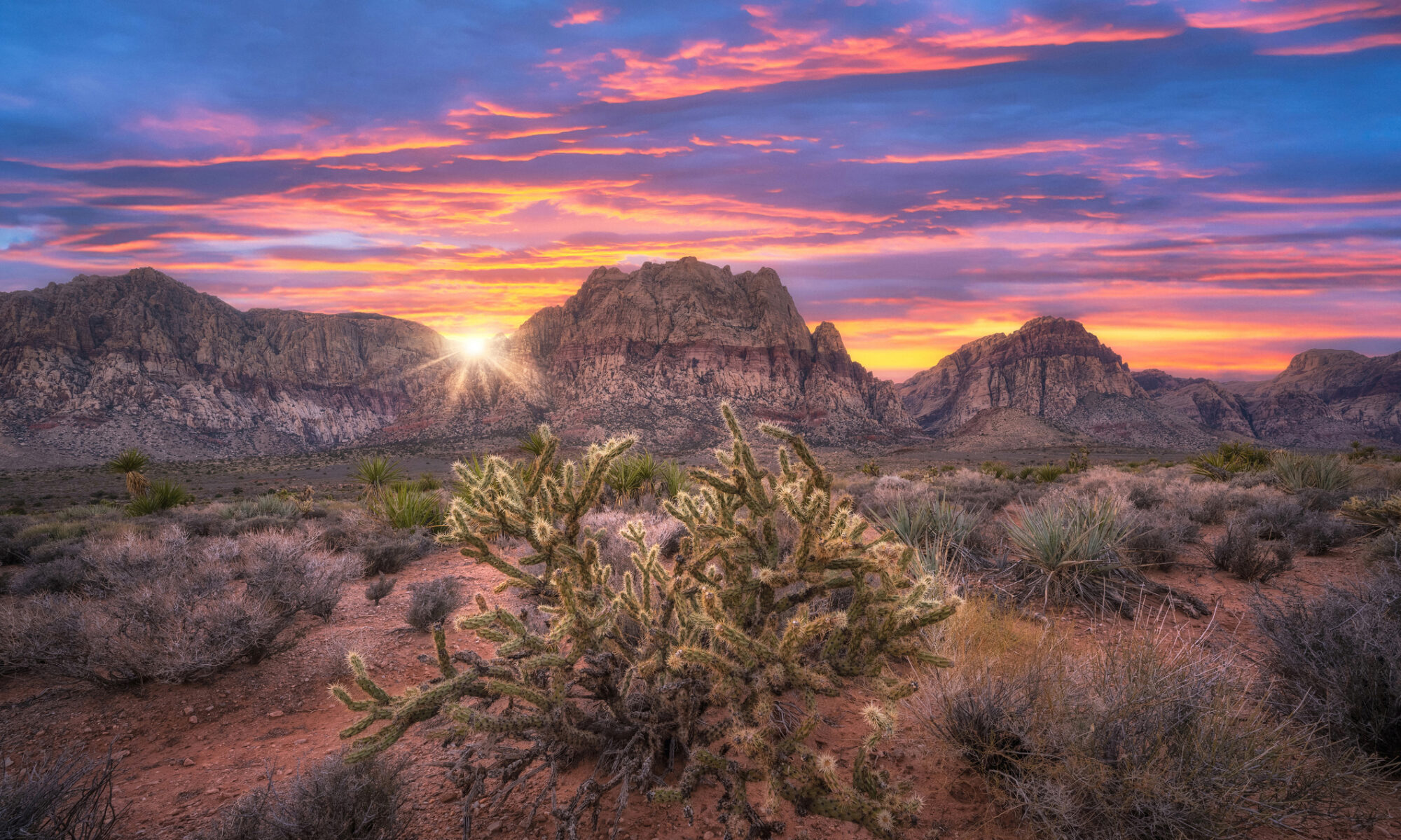
Hidden deep within the rugged terrain of Located in the southwest of Nevada, the Fish Lake Valley is an endorheic valley that stretches for 25 miles (40 km) and is part of the Great Basin. It is one among many adjacent inward-draining basins in this region. Situated just northwest of Death Valley, the alluvial valley is bordered by the White Mountains of California on its southeast and central-northeast flanks.
In fact, the southern tip of the valley floor, including the ranching community of Oasis, extends into Mono County, California. The valley has a low population density and is primarily inhabited by ranchers and indigenous Paiute people. Services such as the Post Office and commercial facilities can be found in the town of Dyer. Fish Lake Valley is characterized by a slight southwest-northeast orientation, particularly in its northern and central section.
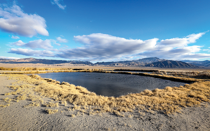
The White Mountains define its southwestern boundary and provide a water source through Cottonwood Creek and other small mountain streams. The southeastern extension of the mountains forms a feeder valley with several dry lakes and salt pans. The main portion of the valley features a mixed salt pan that stretches for approximately 10 miles. At its center lies a small drylake with a length of around 1.5 miles. This lake is fed by the White Mountains and a smaller subvalley to the southeast.
In the western part of the valley, there are alluvial fans, and Nevada State Route 264 runs through the nearby hills, acting as a water source that flows southeast and eastward. On the eastern and southeastern side, the Silver Peak Range forms the border of the valley, without any alluvial fans.
This range is a smaller massif believed to have been formed by block faulting from the White Mountains. Additionally, block faulting created a smaller feeder valley on the southeast of the White Mountains, known as the Furnace Creek Fault Zone. The northern-central area of the valley consists of narrow fans and broken salt flats that terminate at the central dry lake. The hills and peaks at the lower elevations of the Silver Peak Range act as the eastern and northeastern border. Coaldale, located on U.S. Route 6 in Nevada, is situated at the northern boundary of Fish Lake Valley.
At the foothills of the White Mountains, Nevada State Route 264 commences its journey into the western center of the valley before turning southeast towards Dyer, following the feeder valley and foothills of the mountains. Towards the north border of the valley, U.S. Route 6 can be found in close proximity, nestled amongst the Coaldale hills.
For more information, please visit: https://www.AccessEsmeralda.com/communities/fish_lake_valley.php.